


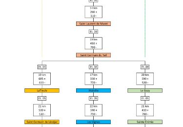
27 km | 34 km-effort


Utilisateur


Application GPS de randonnée GRATUITE
 SityTrail
IGN / Instituts géographiques
SityTrail World
Le monde est à vous
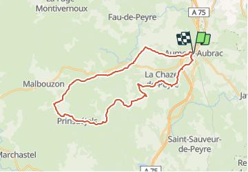
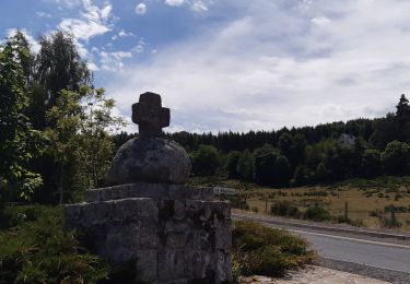
Randonnée V.T.T. de 33 km à découvrir à Occitanie, Lozère, Peyre en Aubrac. Cette randonnée est proposée par RandoVal.
VTT/VTC - Boucle en Aubrac, stationnement et départ place du foirail à Aumont-Aubrac, sens anti-horaire. Que des beaux chemins et petites routes, très faisable en VTC.
Marche

Marche
Marche

Marche

Marche
Marche
Marche
Voiture
Marche